Go Ahead, Take Tuolumne for Granite

I hereby refuse to apologize for any granite puns. When you’re in Tuolumne (“too-ALL-um-mee”), in the high country of Yosemite National Park, you’ll know why.

That’s why. (Half Dome in the distance)

The Mate and I hadn’t been to Yosemite for–yikes, had it really been 11 years??? But that last trip, in spring of 2014, was only to the Valley. Tuolumne, at 9,000 feet, was still buried deep in snow then.

(with maybe a few peaks, like Cathedral, “peaking” out)

So, really, the last time we’d been in Tuolumne? We realized, to our chagrin, it had been DECADES. Thanks to our California cousins, who scored a couple of tent cabins (thanks to someone else’s cancelled reservations) and invited us to join them…we fixed that.

some cousins swimming in Tenaya Lake

Oh, the backdrop of that swim?
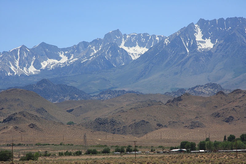
just your average soul-shakingly beautiful mountain lake

At Tuolumne, the beautiful stuff may be less famous…but it’s EVERYWHERE. Up, down, all around…with about 1/6 the # of people competing to be in it.

sometimes LITERALLY all around

(Not all potholes were this inviting.)

Not sure I’d be able to climb back out of this one…

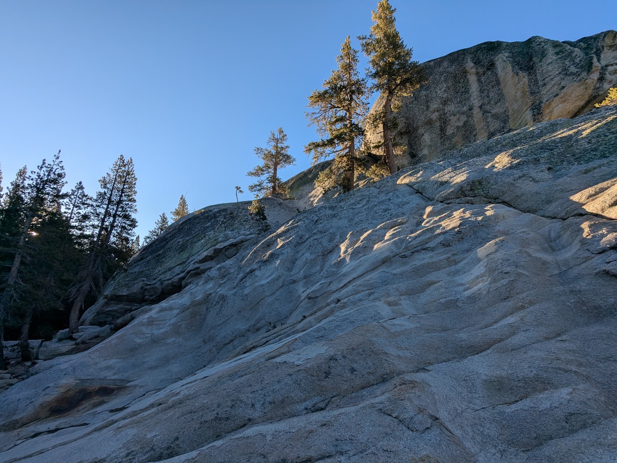
Speaking of potholes, one of the best walks I took was right up a modest, 200-foot dome called…Pothole Dome. The view from up there captures the granite world better than words.

Those trees probably feel about as permanent there as I did! We’re all just guests of the stone.

Tuolumne’s famous for plenty besides granite, of course: its meadows, best seen in spring, thick with wildflowers…

…but it’s August, so Tuolumne Creek will have to do!

…and the famous John Muir Trail, the Sierra section of the Pacific Crest Trail.

Thank you, John.

But let’s face it: those granite faces are really what the place is all about.

Cloud Rest…on the way to Half Dome (I wish I were!)

One morning I got up, pre-cousins, and took myself for a stroll along the creek. Something grey caught my eye–a baby dome I hadn’t even noticed–appropriately named (I learned later) Puppy Dome.

Who’s a good dome? YOU are!!

On the way out, we stopped to visit a handful of giant Sequoias, where the high Yosemite slopes down toward the Valley.

They call this one Big Red.

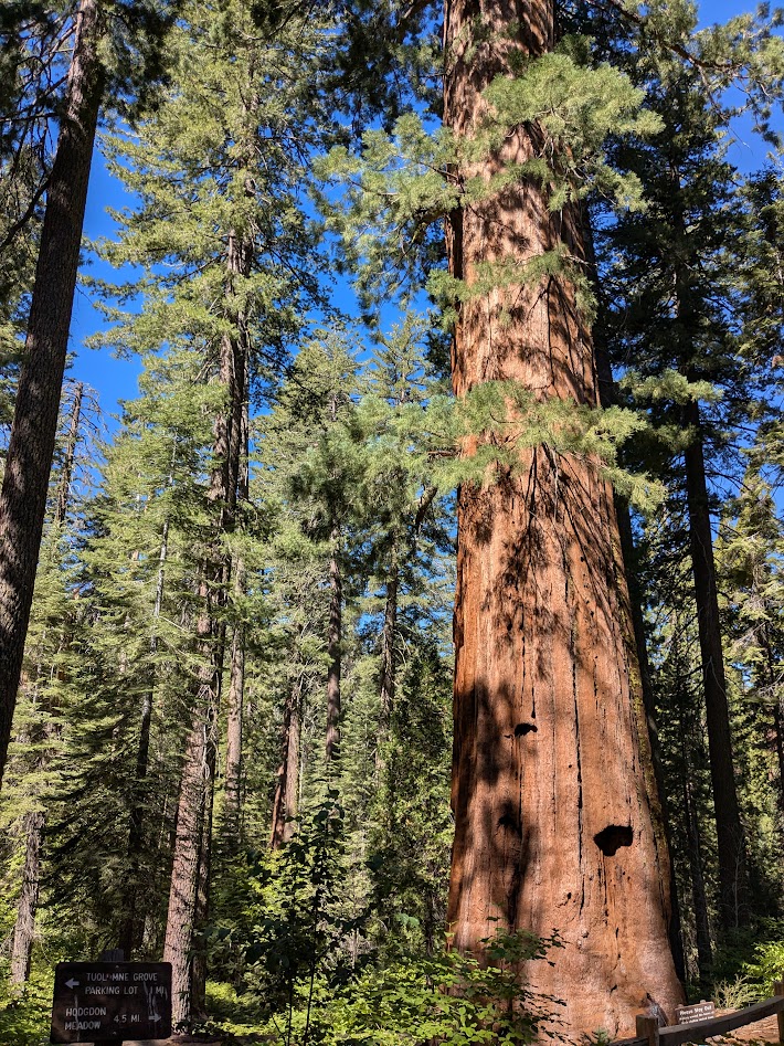
Big trees are always inspiring; I was happy to meet Big Red.

Lembert Dome at sunrise

Road Trip V, Days 3-5, Oakland to Bishop, CA: To Blue Highway or Not to Blue Highway?

I’m pretty sure no one ever wrote a book extolling the romance of interstates. They’re fast, efficient, and generic as hell. The Mate and I like to think of ourselves as less-traveled road travelers…except when, you know, we have to BE somewhere by a certain time. Or the weather is iffy. Or…yeah.

So on our road trips, the question of whether and when to steer down those blue highways for a life of cslower adventure comes up fairly often. Example:

Me:  Google says it’s a half-hour shorter to take route 50 from Sacramento and bypass Lake Tahoe altogether.

Mate: Yeah, but…what kind of road is that? How high’s the pass it goes over? Does Google know the road conditions?

Me: Umm…8,000 feet…and no, Google Maps doesn’t, but let me look up the weather and see if…Yeah, it’s a high of 56 in the town nearest the pass, so I’m pretty sure it’s clear.

Mate: But look at the size of that road! It’s a two laner through all these towns, and then the mountains. Does Google know how many stop lights there’ll be? What if we get stuck behind a slow truck?

Me: All I know is, Google says it’s faster.

Mate:  Is that the same Google that sent us to a bank in Santa Rosa when we were looking for a state park?

See what I mean? Our problem is, we want too much. We want scenery, which is why we opted for going down the eastern side of the Sierras on our way to Albuquerque, instead of driving I-5 to LA like normal people.

We want camping, because we’re cheap outdoorsy folks.

And we want our daily workout.

So we don’t leave Oakland till 8:30 because our cousins’ 18 month-old twins are so CRAZY CUTE, and why get stuck in traffic anyway? Which means that we now have an hour of discretionary time, once we arrive at our destination, either to set up camp, or to go biking, but not both. Not in February when it gets dark at 5:30.

Donner Pass--where's the snow?? (Courtesy wikimedia)

Donner Pass–where’s the snow?? (Courtesy wikimedia)

In the end, we compromised. Took I-80 over Donner Pass, marveling at the scrubbed-looking granite, and at the fact that we were driving there at all without having to chain up. (Serious climate change evidence up there.) Then we diverged before Truckee, to skirt true-blue Tahoe on a highway nearly the same color (hyperbole alert; I mean it was a small road). Got to Bishop in time for a glorious Sierra-ride, and then crashed in a cute little motel.

The view from Bishop (Courtesy wikimedia)

The view from Bishop (Courtesy wikimedia)

(But I got my camping fix: I cooked dinner on our stove out in the courtyard.)

I look forward to more blue highways on this trip. But I’m grateful for the opportunity sometimes to pull onto a big gray one too, and haul.