You’ve probably heard of it, even if you haven’t read the memoir Wild, or seen the movie, or hiked part of the PCT yourself. 2,650 miles, it stretches from the Mexican border to the Canadian.

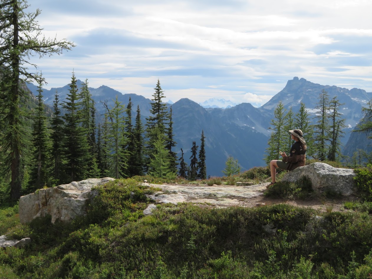
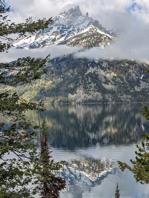
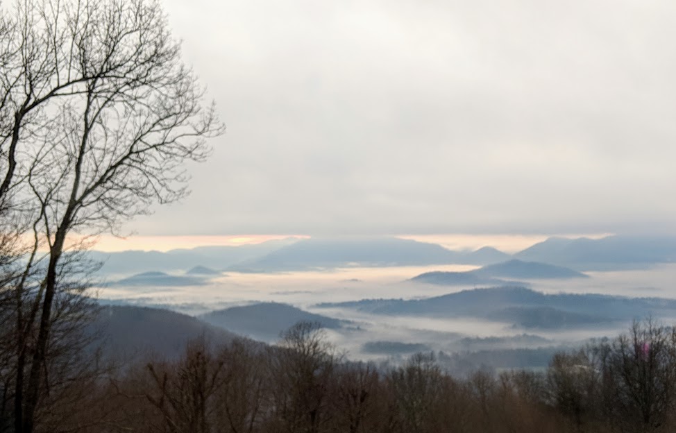
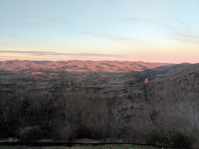
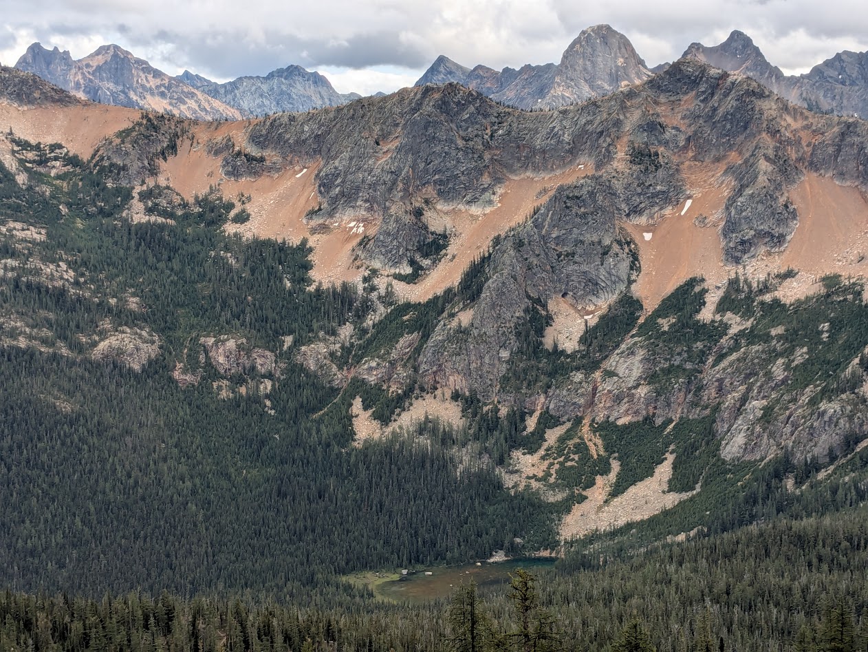
There’s so much to love about the PCT: it runs deliberately across the most dramatic stretches of western mountain (the “Crest”); it’s pretty accessible in places (like this, the Cutthroat Pass portion); and it’s blessed by a uniform “PCT grade” of 6%, meaning that it’s never too ridiculously steep (looking at YOU, Appalachian Trail!).
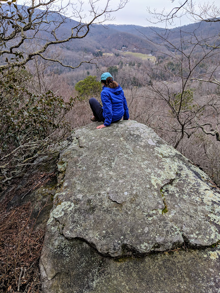
With only two nights, Ironwoman Goddaughter Allison & I opted for Cutthroat Pass, figuring we knew exactly what we’d be up for.
We were mistaken on most counts.
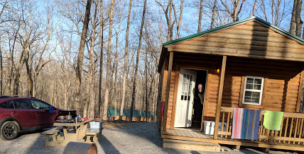
At first, we were thrilled to find ourselves all alone on a brilliant, sunny Tuesday: this enormous campsite, all for us???
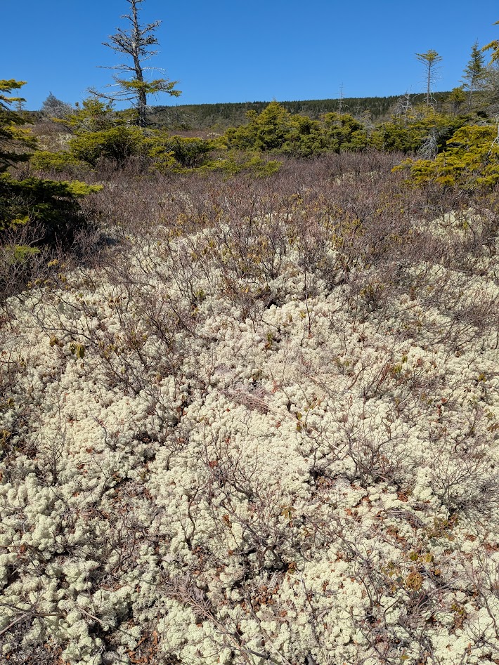
And blueberries? Sure, we expected to find some, but…

We happily took advantage, stuffing our faces like bears…

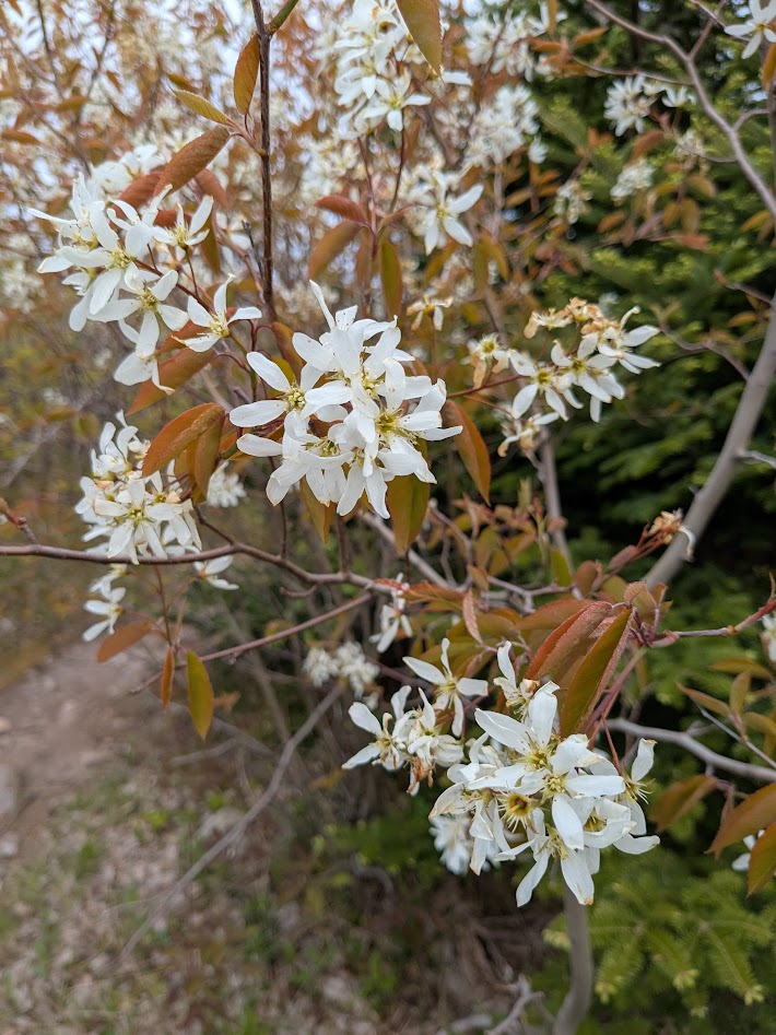
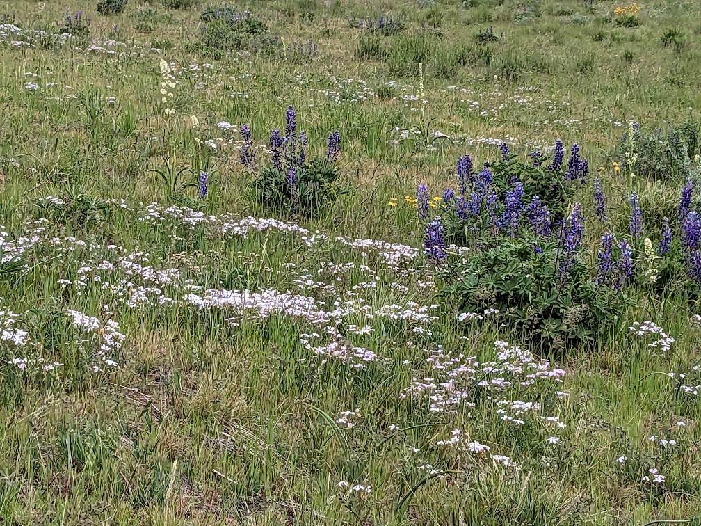
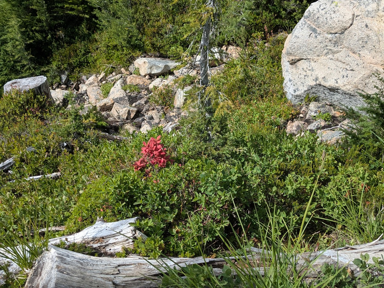
…taking photos of campsite flowers…

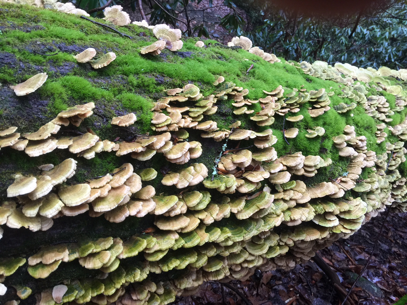
…and marveling at the spruce cones, which are having themselves a season like I’ve never seen!

We enjoyed the sun all the more, knowing that the forecast called for “showers” the following afternoon.
But the rain started around 4 a.m. and continued to drizzle on and off all day.

It was a warm drizzle, not bad at all–but we did have hopes that the sun might reward us for our intrepidness and burst out at our Day 2 destination, a pair of high lakes.
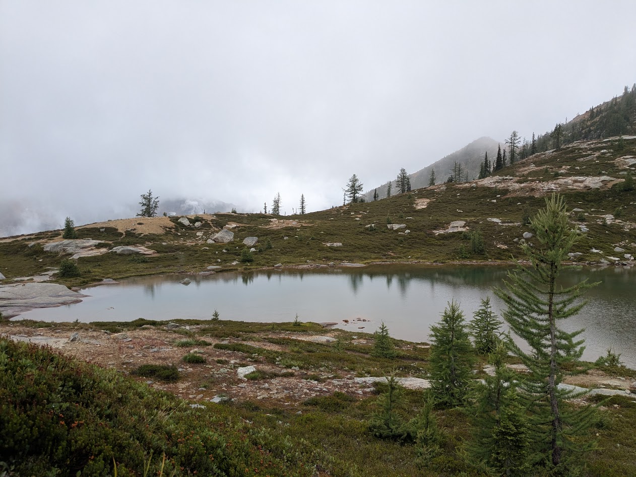
Instead…exactly when we’d finished the climb and were sitting down for lunch and rest…THAT’s when the rain really let loose.
*Not pictured: rain letting loose. Because I didn’t want it letting loose on my phone.
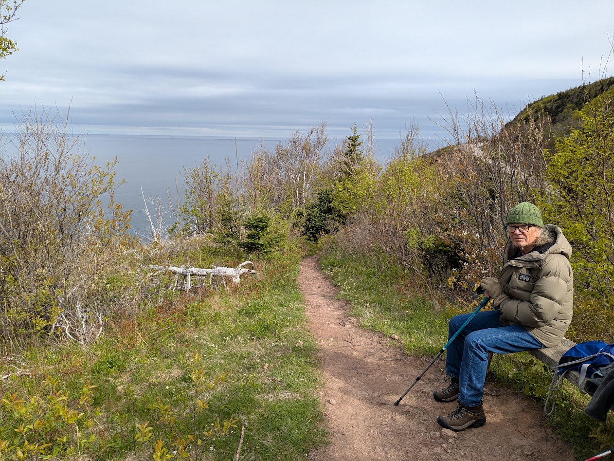
*Also not pictured: Gretchen and Ironwoman Allison enjoying a mid-hike rest, because they didn’t get one.
Well…the forecast DID call for afternoon rain. We just didn’t think that meant morning rain plus afternoon downpour. And we did get that hoped-for sunbreak…after we’d already left the lakes behind, heading back…

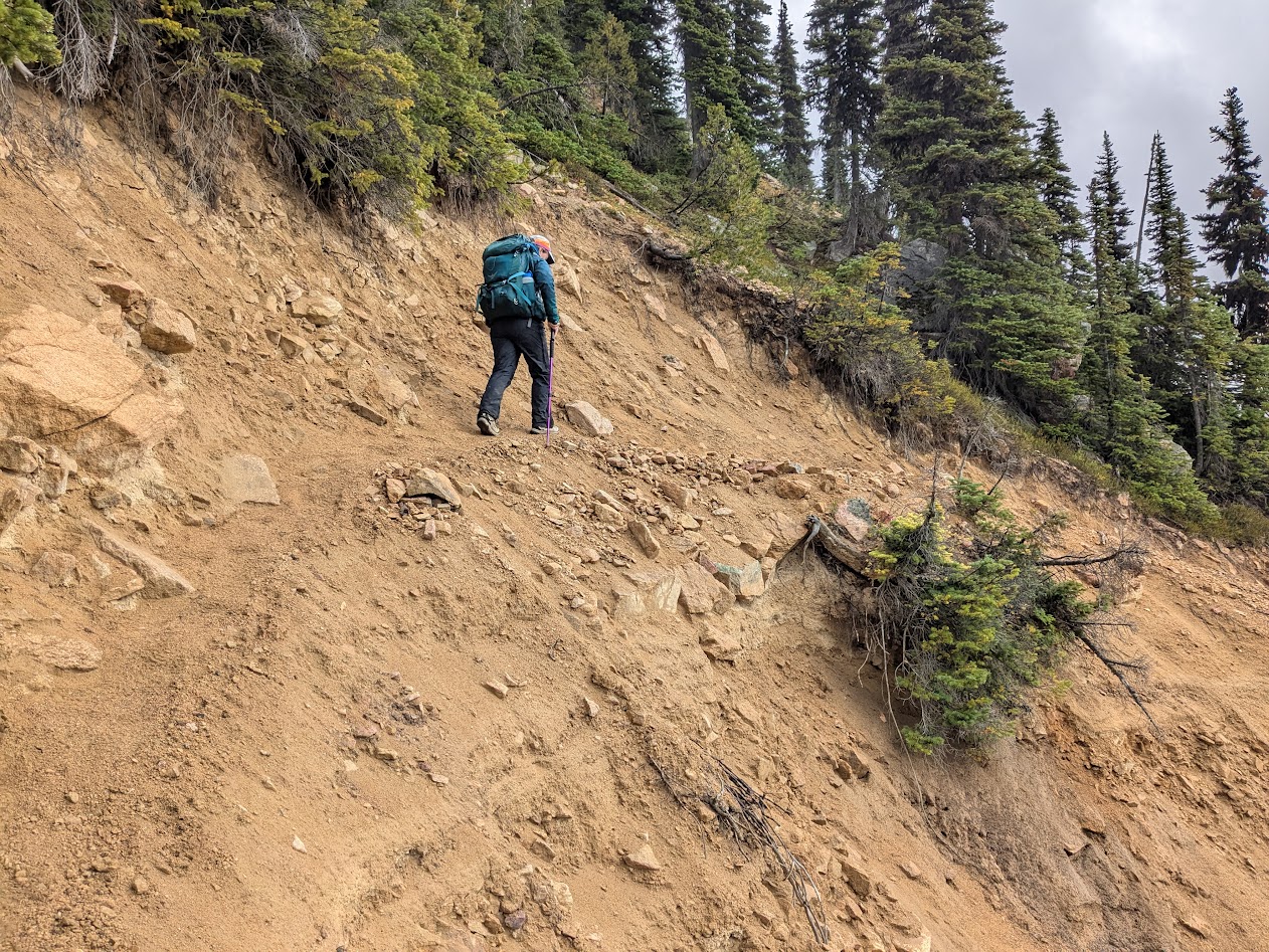
…along a stretch of trail too sketchy to stop and rest on.
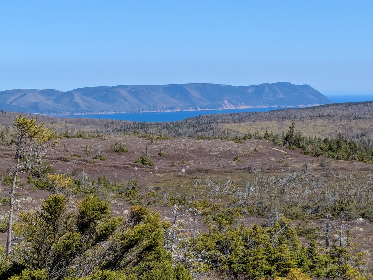
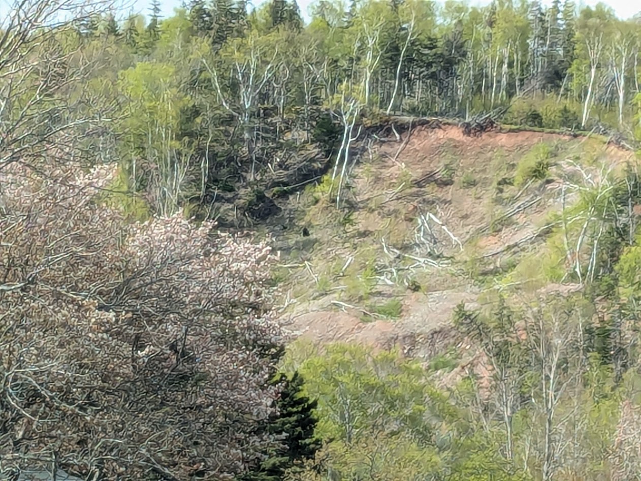
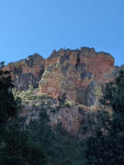
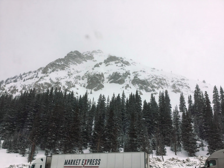
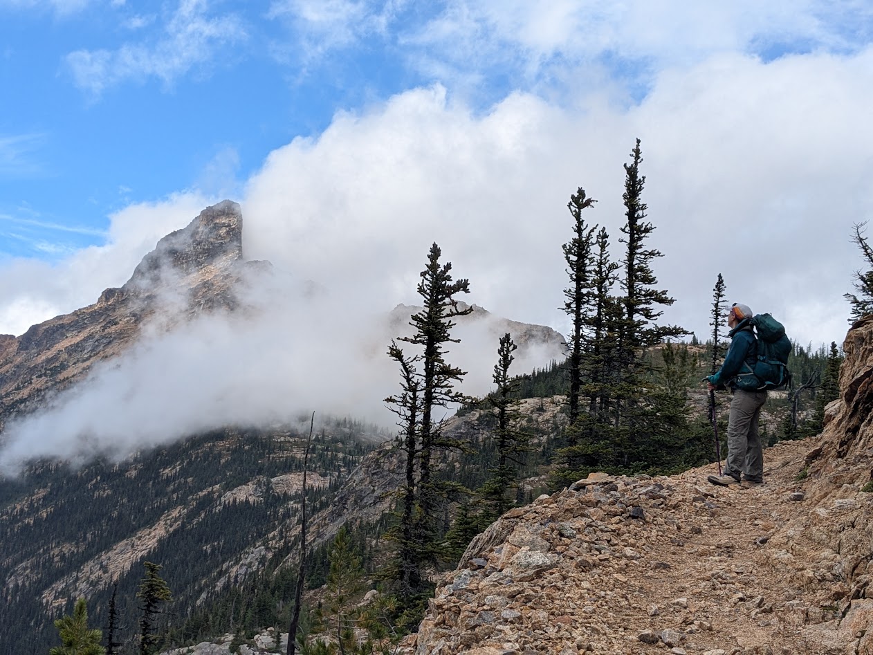
With the rain FINALLY relenting, we were able to enjoy some of the crags we’d hiked past that morning, when they were hidden by clouds.
…even though that blessed PCT Grade does make for a longer hike sometimes!

So, after 13 miles without much of a rest, we were pretty tired by the time we hiked back into camp. And pretty shocked to find our campsite looking like this:

Understand two things: 1) that olive-colored tent was pitched so close to ours you couldn’t walk between them
2) There were other sites available, just beyond ours! But when we pointed this out to the 4 hikers who’d pitched these, they shrugged us off–literally.
I was too pissed off to speak to them after that, thinking, Who DOES this?? But Allison engaged them in conversation, and that’s how we quickly came to understand: Ah. These are through-hikers, or at least they think of themselves that way. These folks–my age, seemingly–WERE doing the whole PCT, but they were doing it one section at a time–maybe a 10-day trip. Not the 5 months’ journey that would have caused us to feel a little more generous toward their entitled attitude…
…which showed up big time at 5:30 next morning when they all woke up and started using their outdoor voices.

Allison’s winning submission for PCT: Pretentious Campsite Terrorizers!
So we learned a few things. PCT through-hikers seem to think the trail belongs to them, so next time, camp as far away from the trail as possible. And bring earplugs.
Because, otherwise? It was a Pretty Cool Trip.