Road Trip X, Days 18-20: Gettin’ Cushy in Louisiana & Alabama

No one should EVER feel sorry for me & the Mate when we complain about weather on our road trips. That’s what we get for road-tripping in February and March! So I’m not looking for pity when I whine about not being able to camp due to snow or lightning or dust storms or ice or…blah blah blah. It’s just fun to whine.

Which is why these last couple of days have really called our bluff. Monday we left Galveston on a cute (and completely free!) ferry

Our ferry’s double, passing the other way.

and drove the length the peninsula on the bay’s other side,

Anyone else think that ocean is awfully close to the road? No? Just me?

back to the interstate and into Louisiana. We hit a perfectly nice campground in the Louisiana bayous–Lake Fausse Pt. State Park–on a perfectly nice (if a little humid) day…and opted out.

Why? Because the ranger said it probably would rain overnight. And while there’s nothing wrong with rain outside a tent when you’re in it, stuffing a wet tent into a small Subaru with all the rest of your belongings is the opposite of fun. Still, we might have gone for it if we hadn’t learned about the cabins.

We could stay in there?!

Each one perched OVER the bayou, with perfect screened porches.

We’re staying in here!

We couldn’t wait to eat dinner out on the porch. But first it was time to go for a walk around the swamp.

Ahhhh…

Have I ever mentioned that I love swamps? Just show me a cypress and I go all weak in the knees. (sorry)

I have no idea what this is. Red iris? Anyone?

The forest offered plenty of variety all on its own…

Don’t mind if I do.

…so when I did see a gator, it was simply a bonus. And the baby gator in front of the mama? Bonus bonus.

See the baby? So stinkin’ CUTE!!!!

That evening, the Traveling Avocados teamed up with some Gulf shrimp and that amazing screened porch for what’s probably going to earn our Best Meal of the Trip Award.

With a rocking bench!

Next day we drove across Mississippi–just about 100 miles at its base–and into Alabama. We had a date with another state park (thanks to this excellent book on state parks), way down past Mobile in Alabama’s teensy lil’ slice of the big ol’ Gulf Coast pie. Appropriately enough, it’s called Gulf State Park. And it’s big. And lovely. With 28 miles of bike trails, are you kidding? Made for us!

Only problem? This park boasts over 400 RV sites, and eleven tent sites. The Mate and I took one look at the teensy tent sites crammed in between RVs and quickly backed away. All the way away, to a Motel 6. Then we drove the few miles back into the park and took a big, happy chomp of those delicious bike trails.

Come for the biking. Stay for the biking…but only if you have an RV!

No lie, this bike path instantly vaulted into our top 5 anywhere.

Only a half-mile further, a new forest.

The terrain keeps changing, oaks to pines to dunes to swamp to…wait–is that an…?

Why yes indeedy.

A nice heavy deluge that night made us feel even better about not camping. Even worse weather ahead of us in Florida encouraged us to slowwww down, so we spent another $70 to stay on at the Motel 6. Next morning, we tried some of those trails on foot.

Any gators down there?

I LOVE whizzing along on a bike, but you do miss stuff. Like these funny puffball-shaped clumps of reindeer lichen.

Cue the lichen puns.

Why this shape? Because, I realized, they’re not growing on the sand; there’s nothing for them to live off. They’re growing on individual sticks and leaves on the sand. Clever things!

We didn’t see tortoises, but we did see their holes.

Anybody home? Love the wild rosemary landscaping!

The only thing I wished for in this park was more dirt trails; they’re nearly all paved. But I understand the reasons for that. And it was clear, from the number of benches dedicated to folks passed away or to groups like “Michigan Snowbirds,” how beloved this park is to folks from colder places–mostly the midwest, it seemed. Maybe that explains the tongue-in-cheek speed limit signs:

NOT 27. That would be crazy.

The weather’s supposed to be so wacky tomorrow that I have no idea where we’ll be tomorrow night. NOT in a tent. But given the terrible destruction up in Nashville this week, I can only give thanks for the safety and security of being able to whine about a little rain.

And speaking of giving thanks: one more gator? Yes please!

We learned the locals named this one “Lefty.”

Road Trip X, Days 14-17, Fort Stockton to San Antonio to Galveston: Dear Ones in Texas

In this blog’s travel morph, I’ve never made a secret of my lack of love for Texas. I’m sure I’ve said some unkind things. That attitude, of course, comes back to bite me when I see a travelogue like this through the eyes of folks I love who happen to live there. So I’m going to avoid my negativity for once and just write about what’s been great about the past few days.

Hold up. Let me first get this out of my system: Fort Stockton contains no one I love, AND it doesn’t have a single bike path. So I’m not going to try & emphasize the positive about Fort Stockton, other than to say it offered us a comfy motel at the end of a long day’s drive from Arizona. If you’re reading this and you’re from Fort Stockton, please chime in with something cool about your town.

OK, on to San Antonio.

My older sister and her husband live on the outskirts, far enough away from the Riverwalk that we’re not tempted to go there. We’re family, not tourists. (And my sister’s dining room is the best restaurant in town anyway.) Along with catching up on family stuff and playing music with my bro-in-law, I’m always happy to cuddle their super-fluffy cats.

Starved for kitty love.

And THIS town has a bike path! Boy, does it ever.

Curvy and swoopy and green…A+.

Also, thanks to my sister’s tree, we are now the Sisterhood of the Traveling Avocados, Oranges AND Grapefruit! (not pictured ’cause I’ve been eating them in the car–sweeet) But here’s another cat picture instead.

Such…fluffy…feeeeet!

We only stayed one night in San Antonio because we’d timed our trip to Galveston to coincide with our friends’ weekend there.  We usually visit them in Dallas where they live (in Oak Cliff, Dallas’s cool side), but they’re just putting the finishing touches on a new condo in Galveston, the childhood Happy Place of one of them, and they invited us as inaugural guests.

Galveston? Where the heck is that anyhow? (asked Gretchen, about a month ago).

Oh! Okay. Thanks, Wikipedia.

According to our friends (also Wikipedia), it’s an island in the Gulf of Mexico, 27 miles long, no wider than 3 miles. It was practically wiped out in a hurricane in 1900 which killed over 6,000 people. More recently, Hurricane Ike did a ton of damage, but Galvestonians are a resilient bunch, and they love their town. One of my favorite parts of our stay there (other than walking on the endless beach) was biking through the old town, stopping to take pictures of pretty houses.

Ooooh.

The sunrise view from our friends’ condo:

Good morning!

The giant ships entering the harbor, bound for Houston, reminded me of the ones we used to live with during our 20 years in Tacoma. Here there are so many, they line up along the horizon waiting their turn to unload. At night the whole Gulf looks like it’s ringed with stars.

Big ship, and big pelican! I love those things.

Biking around, I kept thinking about seeing Ciudad Juarez across the Rio Grande as we’d passed through El Paso a couple of days earlier. Yes, the Mexican streets and houses look poor, in some places desperately so. But they are so colorful! Pink and green and blue and purple–as if to say, “C’mon, America–why you gotta be so DULL?” Well, Galvestonians are NOT dull.

Wish I had the nerve to paint my house that color.

Mardi Gras was last week. I kept running over beads with my bike wheels, and lots of decorations were still up.

The day was overcast. Imagine how this home would look in bright sunshine!

Must’ve been quite a party.

Take that, Nawleans.

Galveston also hosts a thriving fishing industry. My friend took this picture as I waited in line for gigantic shrimp. Moments later, when she stepped outside, they brought out the two-man-sized fish.

The day’s smaller catch.

If I were more of a beach person, I would have taken more pictures of the beach. Maybe. The best thing about THIS beach, for me? Walking and talking and sitting and talking and drinking wine and talking with my friend. (not pictured) So here’s another jaw-dropping house:

Daaaaang.

Our friends went to Mass on Sunday for the first time here (they’re still getting to know their new town) and came back jubilant at having discovered a vibrant, extremely multi-racial, multi-ethnic congregation. Another warm fuzzy for Galveston. Maybe I just need to spend more time in all Texas’s towns? Well…all the ones with places to bike in, anyhow.

I don’t feel bad about the opinions I have about Texas which are related to its history and current dominant politics. I do feel bad if anyone I love who lives there feels like I love them less because they live there. And for those other loyal Texans whom I don’t know…please tell me more cool stuff about where you live. I’m trying not to have a Texas-sized ego about this. 🙂

Road Trip X, Days 11-13: The Chiricahuas. Period. 

What strange impulse leads us humans to share our special secrets?

Notice that this post has no cute subtitle beyond a geographic label. That’s because the Chiricahua Mountains are the special secret of the Mate and me and a very, VERY few other people—I can only think of four. That’s the main reason they’re special to us. And yet, here I am talking about them. Can’t help myself.

Waaayyyy down there at the bottom right. (image courtesy freeworldmaps)

The west side of the mountains is the better known half, because that’s the National Monument side. We’ve camped there a couple of times, including last year. It has very cool rocks.

See what I mean? But that was last year (snow & all).

This year we opted for the east side, which means driving into New Mexico, then heading south and west and ending up back in Arizona–just barely–in the miniature town of Portal. No National Monument here…”just” national forest, and wilderness.

Oh, is that all?

Oh, and lest you think those pink cliffs are just the sun…

Nope. Actually pink.

This side of the Chiricahuas is known best by birders. As I’ve probably mentioned before, these mountains (rising nearly 10,000 feet) act as both an oasis for higher-elevation plant & animal species, AND wildlife corridor for everything that walks, flies and slithers. You can see birds here that otherwise you’d have to go to Mexico to see. They have coatis (not seen this trip). And javelinas.

THIS. Hairy piggie!

(Gotta admit, this particular piggie disconcerted us a bit. In the past, we’ve only spotted them bolting and scuttling, but this one sashayed through our yard to rub its butt against a prickly pear, then came right up to our cabin like it wanted to order a sandwich. Guess some idiot’s been feeding them.)

In 2004, our little family of four spent a few months living in Santa Fe, and that’s when a friend first showed us this marvelous canyon. It was mid-March then, and the place was buzzing with birders (also hummingbirds of a dozen species). We were a little starved for moisture and what we northwesterners call “real trees” (i.e., something other than pinons and cottonwoods). Being so high, the Chiricahuas collect snow, and fill their canyons with creeks. And creeks mean one of my favorite trees of all.

Not all the sycamores are this mighty. But they’re all this lovely.

March was great. April might be even prettier, who knows? But now, in February? We and the locals have the place to ourselves!

And we even got a few flowers out of the deal.

The Traveling Avos & Oranges enjoyed the view as well.

Here, piggie, piggie! (Just kidding.)

If you ever make the trip down to the furthest corner of Arizona, do let me know. We Chiricahua Enthusiasts are a small but passionate tribe.

(Note: you CAN drive from one side of the mountains to the other, but not in February. And not in any kind of car you value, unless you drive a Jeep.)

Yes please.

So pick a side and go. Go to hike, ride a bike, camp, watch birds, or just sit there in awe with your feet in a sycamore-shaded stream and your eyes on glory.

Road Trip X, Days 6-10, Oakland to LA to Joshua Tree to Tucson: Making the Big Left Turn

Along with the color green, we tend to front-load our road trips with family and friends all down the west coast. In fact, in our first week we somehow visited with 18 different dear people, some just for a meal, some for a hike, some for a night or two, and some for all of the above.
Then comes the Big Left Turn from LA, and it’s just the Mate and Red Rover and I heading out across the desert.

So let me catch up a little before that desert becomes my be-all and end-all. Because I don’t like to violate my family’s privacy, I won’t show any pictures of our adorable six-year-old twin cousins. But here’s the late valentines they left on the door for me when I went for a walk.

I’m mellllting…

After two days and nights of walks and drawing and playing and reading aloud (grandparent practice!), not to mention enjoying our adult cousins’ excellent cooking chops (literally and figuratively), we headed for SoCal. Google kept asking if we didn’t want to save an hour by taking I-5, but we had a date with a certain bike path in Santa Barbara.

Suck it, I-5.

Then we spent the night with our dear friend Rhonda in the Agoura Hills, marveling at her Phoenix-like rise from the ashes of the Woolsey Fire, which I documented last year. It was nice to hear someone with good things to say about her insurance company. (Not pictured: Rhonda’s rebuilt house.)

On our last day in LA, we met our adventure buddies Tom & Kate for a hike in Malibu. Usually Tom & Kate meet us somewhere further from home, like Moab or the Rockies, but this year they only had the one day. We made it work.

So much prettier when it’s not on fire!

Who knew these dry hills still cling to a few waterfalls?

Don’t worry, little waterfall. I’ll never give your hideout away.

Since we are crazy people, though, the absolute highlight of that hike was this guy:

Hey, big guy! We don’t have any of y’all where we live, so thanks for the thrill.

Our visit with our next set of cousins (my side of the fam) was brief but sweet…and as in years past, yielded not only a bag of avocados from Cousin Elias and Helen’s giant tree, but also another bag, full of oranges from Cousin Susi’s equally ancient backyard tree! So this trip can now celebrate the Sisterhood of the Traveling Avocados AND Oranges!

Much as we love our cousins and friends, after four days we were DONE with driving through Californian cities.

Left Turn!!!! Bring on the brown signs! Specifically, Joshua Tree National Park.

Since we were in this exact same spot exactly one year ago, I was able to compare the effects of greater or less rainfall. Last year, I took more pictures of wildflowers than rocks. But this year?

I’m okay with just rocks, thanks.

And let’s not forget JT’s legendary palm oases. This one’s called Lost Oasis, and requires a round-trip 9 mile hike.

Worth it.

You don’t have to walk 9 miles to see palms, though. These beauties are right by the parking lot.

In the midst of the desert, you can see why these things are so godly.

The ranger told us that desert tortoises had been active in the area, so we got our hopes up. But this was the only tortoise we found.

And now you’re just as sad as we were. Sorry. 😞

Back at camp, I had to race the sun to get dinner out before dark. Cue the avos and oranges!

Don’t judge my atrocious presentation—I was in a rush!

We love Joshua Tree, but this trip we were saving our linger-longer desert days for another special place…and one that’s a lot less populated. But I’ll save that for the next post. We spent an uninteresting night in Tucson (not Tucson’s fault, we just needed a down day), but as always felt gratitude for its bike paths (not pictured, sorry).

For now, I just want to say, Thank you, California, for your glorious diversity. No thank you for your traffic…but I can’t blame folks for wanting a piece of you. On to the glorious Chiricahuas!


Road Trip X, Days 1-5, Lopez Island to Oakland, CA: Front-loading the Greenery

Welcome back to Wing’s World’s annual morph into travelogue! This will be the TENTH cross-country the Mate and I have made together, from our wee island home in the northwest to visit our previous lives back in my home state of North Carolina.

Featuring me, Red Rover!

Yes, we do realize we really couldn’t make it a longer trip unless we lived in Alaska and journeyed back to Florida. Yes, we are deeply uncomfortable with our carbon footprint. But we are also deeply in love with Brown Sign Nation—all those national and state and regional parks which belong to us all—and deeply committed to friends and family scattered across the continent. This pilgrimage keeps us close to all of them.

Then there are our beloved Tarheels, and our beloved Tarheel  Tribe that assembles in the second week of March to cheer our team on and eat greasy southern food. The way the Heels have been playing this season, we’re more likely to be weeping over our BBQ than cheering. But I’ll save my bitterness for another post (since I doubt another Dukie will break his shoe this year).

Photo credit–and cake credit!–to my friend and fellow Tarheel fan, Cynny Scott

Let’s get to it!

We left Lopez on a windy Valentine’s Day. I took one farewell walk out to the ocean, where the foam was flying through the air like cottonwood fluff.

Flying foam: courtesy Salish Sea

In a departure from tradition, we turned north from the ferry and spent the night with dear friends in Bellingham. This didn’t really feel like part of our road trip, though, so I didn’t take pictures. And next morning, driving to Eugene, the weather was so atrocious I spent the whole drive being an extra pair of eyes on the road for the Mate, who does 90% of our driving.

But Day 2 in Eugene dawned gorgeously. With our friends, we went for a walk in the reserve of Mt. Pisgah, just outside of town. The default ecosystem there is oak savannah. Now, since oaks are among the top five things I miss about the south (my parents, the Tarheels, BBQ and Mama Dip’s chicken being the other four), I was immediately in heaven.

Ohhhhhk treeeees….

Ever notice how much lichen and fronds sound like liking and friends? I don’t think that’s an accident.

This ones called lung lichen! Breathe easy.

And this is …. lichen.

After two nights with two separate sets of very dear, long-standing friends (cuz I don’t want to call them “old”), we headed out for another set of dear friends…California’s coastal redwoods.

It wanted to hug me back, but it was too tall.

The most amazing thing about this visit? It WASN’T RAINING.

You see trees. I see sunlight!

Day 5, we said goodbye to Humboldt County and headed for our cousins’ home in Oakland. In the little hamlet of Legget we stopped for gas and chatted with the young man at the pumps. As I enthused about the beautiful sunny day, he looked around at the surrounding redwoods and informed me that it hadn’t rained for almost a month. During rainy season. “Take a good look at these trees,” he said. “Might not be here this time next year, if it keeps up this way.”

I immediately felt bad for my cheer about the sun, and offered to send him some rain from my home state. And I thought: green. Yes please. More of that! And that’s exactly what we got when we stopped for a bike ride on a rail-trail path in Santa Rosa a couple hours later.

Greeeeen. Even the prickly pear is green!

Green is what saves us. Green is what keeps us from catching on fire. And green is what we’ll soon be missing as we take that big left turn and head out across the Mojave. So we’re filling our eyes as full as we can of green….just as we fill our hearts with frondship. I mean friendship. To our lichen!


Wing’s World Goes Mobile: Let’s Get Ready to Rrrrrrrrroad Trip!

It’s that time of year. In our little corner of the Northwest, the ditches are running full enough to kayak in, sun is a tantalizing memory, and anything with wings that migrates is starting to do so, in reverse. Including these Wings. Except, being bipedal and 4-wheeled, we go EAST. This year: Road Trip X.

“What route are you guys taking this year?” ask friends who know about our annual pilgrimage to North Carolina.

My standard answer: “Head to L.A. and turn left. After that–the weather’s in charge.”

Sometimes the weather’s in charge even on the very outskirts of LA.

I-5, Tejon Pass

And of course we don’t head STRAIGHT there. Along the way, we stop to visit dear friends, family members, and trees.

Prairie Creek Redwoods, CA

And even in the sunny desert, we’re reminded that THE WEATHER IS IN CHARGE.

Saguaro National Park, Tucson

We spend time with rocks. Grey ones…

Chiricahua National Monument

…red ones…

Arches National Park, UT

…and brown ones.

Natural Bridges State Park, KY.

We spend time with mountains, western…

Guadalupe Mts. National Park, TX

…and eastern.

Appalachians, NC.

Sometimes we imbibe a little “culture.”

Mardi Gras in Dallas

…and history.

Vicksburg, MS

ALWAYS, with our Tar Heel Tribe, we celebrate our team (God knows they need our love this year!) with lots and lots of food.

Pie Day, 3.14

We spend quality time with my parents…

Dad’s bike’s electric now. But he’s 89 1/2, so, yeah.

…and the woods where I grew up.

Trout lily

If weather allows, we camp–and celebrate the Sisterhood of the Traveling Avocado (from our LA cousins’ tree).

Chiricahuas

If weather doesn’t, we fall in love with cute park cabins.

Land Between the Lakes, KY

As always, we seek the Perfect Bike Path.

Katy Trail, MO.

As always–did I mention this? The weather’s in charge.

I-70, CO

As always, we are thrilled to see this sign after 6+ weeks on the road:

Says it all!

And as always, we are even more thrilled to be HOME at the end of March. (Flaming sunset’s just the cherry on top.)

Home Sweet Lopez Island

So, friends–please wish us buen viaje, bon voyage, safe travels, and Go Tarheels! Be safe yourselves; stay warm & dry. See you on the road.

Red Rover just can’t wait to get on that ferry & hit the rowdy road.

Ironman, Shmironman: New Zealand’s Coast to Coast World Multisport Championship

This is THE weekend. As I’m writing this, the countdown clock for the start of the Coast to Coast is down to 2 hours something. It starts on Friday, Feb. 7. Today is Thursday, Feb. 6. So it starts in two hours–how??? Oh yeah–New Zealand time. Already tomorrow there. No wonder those buggers are so quick.

Photo by Diversions.nz

Actually, the race that starts Friday is the “easy” race: competitors take TWO days to race across the skinny part of NZ’s South Island, from Coast to Coast, on foot, bicycle, and kayak. And by “easy” I mean “less insane.” Here’s the C2C’s own description of the race course:

Competitors leave on foot from the black sands and lush windswept landscapes on the West Coast, running 2.2km inland to their waiting bikes. They then follow the Taramakau River 50km to the foothills of the Southern Alps where they switch their bikes for runners and the first true test of the course.

Photo by Eventfinda.nz

The 30.5km run is mainly off trail with the rocky riverbed often the only direct line up the valley. Competitors encounter multiple river crossings with frigid crystal clear water and an elevation gain of nearly 800m on their way to Goat Pass and the start of the descent.

Photo by NZ Herald

With the very fastest athletes taking nearly 3 hours the run is as much a test of co-ordination and strength as it is outright speed.
A short 15km ride follows before the second jewel in the course. The mighty Waimakariri River. 70kms of braids and a stunning gorge, the river section is for many both the highlight and the crux of the race. The water flows swiftly in places and mixes long calm sections with rapids up to grade 2 in size.

The racer I followed in 2017, Josie, finishing the 70k kayak portion (my photo)

It takes competitors from the heart of the Southern Alps out on to the Canterbury Plains where just one final 70km ride stands between competitors and the finish on the East Coast at the New Brighton Pier amongst a vibrant beachside festival.

Map by NZTourismGuide.nz

Got that? Run to ride to run to ride to paddle to ride. For a total of 238 kilometers. That’s over 147 miles. The actual World Multisport Championship part of the C2C doesn’t start till Saturday–at 0:dark-thirty. That’s the race they call The Longest Day. And you can guess why.

I first learned about this race when my family and I spent a year in New Zealand, back in the 1990s. I came to see multisport racing in general, and the Coast to Coast in particular, as emblematic of the Kiwi approach both to sport and to life. (Notice how much those two are entwined? Yeah, all those cliche-spouting coaches are pretty much right.)

Which is why the novel I’m writing is set in NZ, and features a race much like the C2C. And why my heart is now with the athlete who let me “ride along” with her crew, back in 2017, so I could see and feel the race up close. You can read that story here.

What, you thought I was going to DO the Longest Day? Do I seem that crazy tough athletic to you? (If yes, ummm…thanks? But no thanks!)

In 2017, Josie, the athlete I followed–a mum with two daughters–finished the Longest Day in just over 15 hours, fourth woman! This year, Josie’s going for it again! Over the course of her Saturday, our Friday, I’ll be checking in with the course-tracker app to follow her progress up and over the mountains, through dark of night, fording crystalline streams…

…Sorry. Easy to get carried away. I’ll just stop here with: Go, you crazy racers! GO JOSIE!

Now back to my nice, comfy laptop…

Josie’s finish in 2017. Have a beer! (Photo by C2C.nz)

Eyes White Open: Count Me In

If you’re at all political, or even if you just like bookstores, you’ve probably seen these titles on the front shelves:  Robin DiAngelo’s White Fragility. Debby Irving’s Waking Up White. Nell Irvin Painter’s The History of White People. And this is just the books on whiteness BY Whites. There are plenty of others by Black authors, but obviously the vibe is different. We’re clearly in a moment where folks who’ve always considered themselves “the good White people” (like me!) are suddenly feeling the need to study, well–ourselves. Our assumptions. Our Whiteness.

On the titles above, I’m two down and one to go and I’d love to talk about any of them with anyone. But since it’s easier for books to sell themselves than podcasts, I want to throw a little love to this podcast, from my hometown of Durham, NC: Scene On Radio’s series, Seeing White.

If you prefer to get your Whiteness-awareness-raising in smaller, more varied chunks, I’d suggest starting the series from the beginning, where host John Biewen (White) and his friend/mentor Chenjerai Kumanyika (Black) explain what it means to “turn the lens” onto a “race” that’s never really seen itself as such, even while determining the very meaning of the word. I’ve listened to a dozen, and they’ve all been DEEPLY thought-provoking.

But the last one I listened to, My White Friends, really made me want to share. Here’s the premise: photographer Myra Greene, who is Black, got a handful of her White friends to pose for pictures in ways that push the viewer to ask, “What is the Whiteness of this photo?”

Like this photo of a friend who’s a public high school teacher. With, yep–a Subaru. (photo by Myra Greene)

You can see more of Ms. Greene’s exhibition here. Her photos got me thinking, what is the Whiteness of some of my own? Let’s try a few.

Well, I’m obviously out in a mountainside meadow. Wilderness, or at least the illusion of wilderness, is important to me. Is that a White thing? And I have gear: knee braces, a water pump. Good boots. REI Nation! I know they’re trying to reach out, but still–REI’s a pretty White store, am I right?

OK, here, I’m performing in public–in flip-flops and a skirt sewed out of old T-shirts! I was raised to believe informality was cool, inviting even. It would never have occurred to me that some folks might find this disrespectful of the audience.

One more?

And here I am, back in the wilderness…this time very far from home. And though you can’t tell from the photo, it was taken on a Monday in March–not a holiday, mind you, just a regular workday, when I got to be on vacation. In my REI gear. What’s the Whiteness of that, you ask? Layers upon layers of privilege, which I’m only now starting to acknowledge.

If you’re up for it, and you’re White, choose a photo of your own to describe. If you look, can you see your own Whiteness?

O Canada: a Letter of Gratitude

Dear Canada,

I know you’ve had it a bit rough this last week, re-discovering your own racism and all. Welcome to the club. Gotta tell you, though–I still need to thank you for the ten days I just spent with The Mate, introducing my parents to your Rocky splendor. You may not be perfect, Canada (big surprise), but you’re still pretty stellar in my book.

Thank you for your waterfalls.

Like this classic: Athabasca Falls in Jasper National Park

Or this one, coming right out of a cliff face! (Jasper)

Another classic, joining the Maligne River in Jasper

Can you ever have too many waterfall pictures?

Thank you for your canyons.

Athabasca

Johnston Canyon, Banff National Park. (Even though it was so crowded there I stopped taking pictures.)

Even your dry canyons are awesome!

Thank you for waterfalls IN canyons!

Maligne Canyon. Got pretty crowded there too…but can you blame us?

Thank you for the colors of your lakes.

The famous Lake Louise. 

Lake Agnes in Banff.

The Inkpots, Banff.

Hard to tell where sky ends and water begins. (Jasper)

Can’t…stop..photographing…water!

Thank you for your glaciers, even though their shrinkage scares the shit out of us.

Athabasca Glacier, coming off the Columbia Icefield, is still making its own weather…

…but look how far the poor glacier has receded since we first visited in the early 80s!

Thank you for your wildlife, even when it’s right beside the damn road.

Jasper traffic jam.

Big guy. I was hoping to see him fight another big guy, but he was too busy guarding his harem.

Moose are my FAVORITES. We saw four along just this one stretch of Maligne Road.

My second bear on this trip had me wishing for a zoom lens for my phone. Gotta work on that.

After the disappointment of seeing NO bighorn sheep in any of the parks, we met a giant herd on the very edge of the city of Kamloops! This is only some of them.

Thank you for the reassurance that, even when all your pine-beetle-ravaged forests do eventually burn, which they must…

(Yeah, pretty horrible to see–trees weakened by drought)

…Nature WILL know what to do.

Thank you for your mountains, which are not like any other mountains I’ve known.

Maligne Range…rock from 600 million years ago, uplifted

But on second thought–thank you, too, Washington. Your mountains are no slouch either.

The Mate at Washington Pass Overlook

And for that matter…thanks for the reminder, Lopez Island, that I don’t NEED to go to Canada to worship beauty. (But thank the gods I can! And I wish some of it for everyone.)

Welcome home.

Martha and Peter’s Excellent Aldabra Adventure, Part VIII (Final Installment): Nightmare Crabs and Sybaritic Cuisine

And here we are at last: the final installments of my parents’ journals from their 1976-77 self-marooning on the tiny Seychelles island of Aldabra to study goats. What’s weird is, the journals simply stop. I’m not sure if that’s because they got tired of writing right at the very end, or if, in the excitement of leaving, those pages were lost, or if they’re still kicking around somewhere in the family attic.

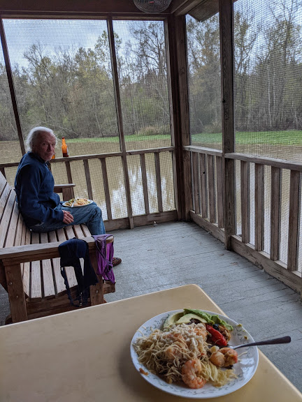
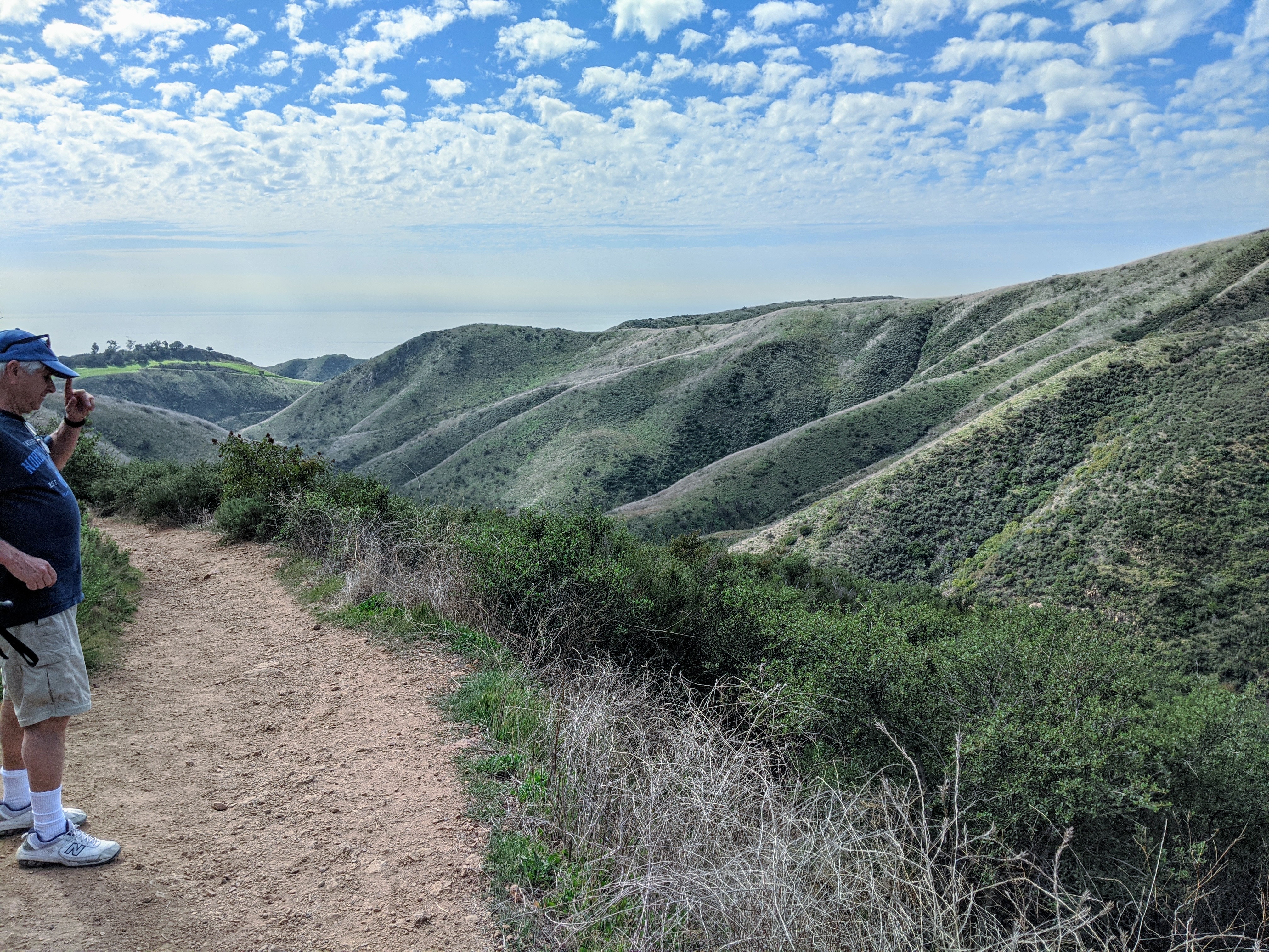
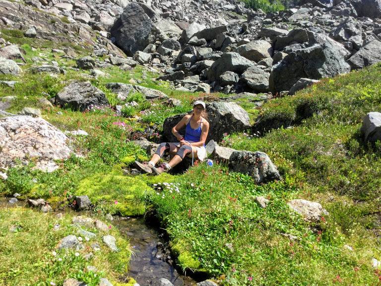
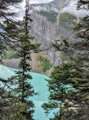
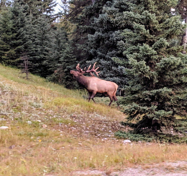
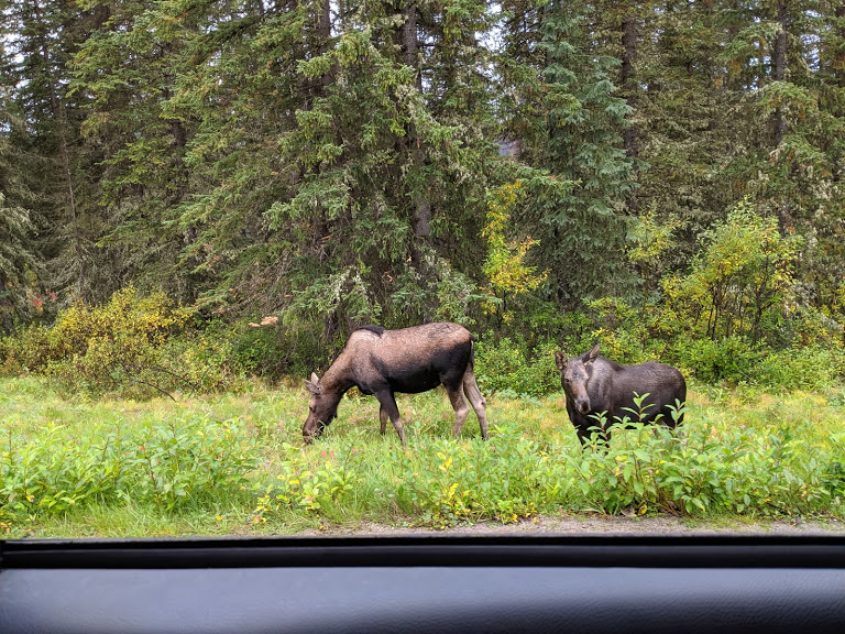
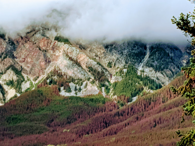
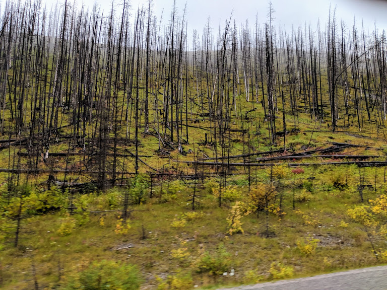
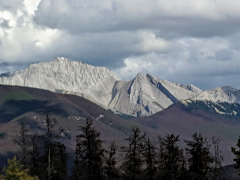
Luckily for me, I can ask my folks that. Because, as you’re reading this, I shall be (inshallah) hiking with Martha and Peter in the Canadian Rockies. Because I have been blessed with parents who are not only intrepid, but who are also ridiculously healthy, now in their mid-upper 80s.

So if there are more journals, they’ll let me know. Till then…take it away, Dad.

8 January

What a day! Yesterday, after supper, while we were completing plans for an early expedition to DJL [Dune Jean Louis, part of the island atoll] to search for Meg, she herself arrived, hot and weary.  She also brought details on tides, which indicate that we will need to depart sooner than planned, or remain considerably longer.  With food in short supply here, and the Nordvaer due at Main Station on the 20th, when we must depart, we elected to accelerate our activities and, since it will take two tides to return to Station,  depart for Malabar on the 10th.

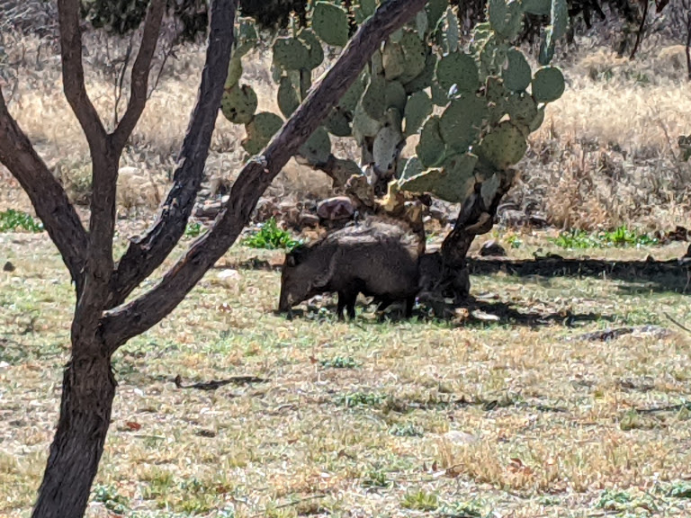
One of the planned activities was to catch a goat for a barbecue (the ban on killing animals excludes the occasional crab and goat), so, after dark, lanterns in hand, off we marched. The goats weren’t yet asleep, however. The first group we encountered, two dozen, a mile or so from camp, crashed along the coral into the shrubs. Chris dashed after them, while the rest of us remained on the beach to see if he would succeed in turning the animals to us. He did not. Nearly three quarters of an hour later, I was about to propose reverting to a piscorian diet [otherwise known as fish…sigh], when Chris’s lights reappeared. As he neared, the moon rose and we saw he had sprouted a second, horned head. Somehow he had singlehandedly outraced a young goat over the dark coral spiracles, roped it, raised it to his shoulders and now was bouncing back to us, lantern still intact.  [Yep: field biologists can and do sometimes eat their subjects.]

9 January

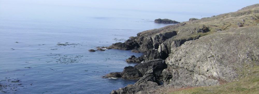
Remember to visualize this ancient coral as you read the next paragraph. Yeow.

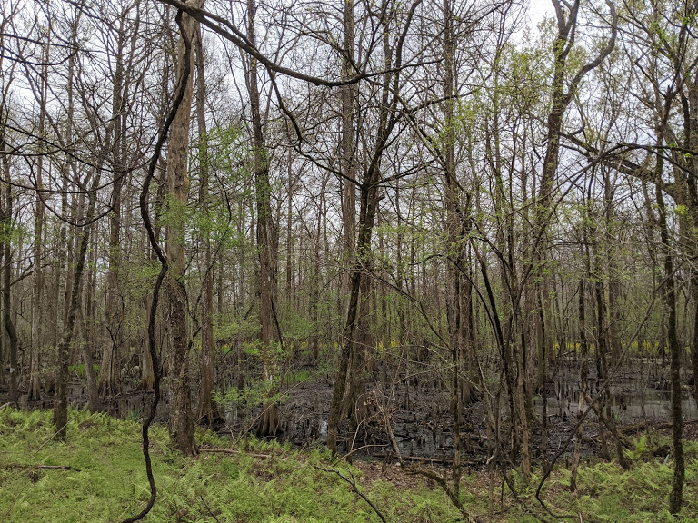
The rescue mission for Meg aborted, P. rose at 3 am, and raced north to Point Hodoul. By 5, the turf underfoot gave and to coral and the was reduced to a slow stumble. By 5:30 it was panicky scramble. Only at the very edge of the coral ledge could a way be forced through the dense shrubbery. Shoe were in ribbons, skin shreds. But, just at daybreak, P. rounded a corner and the dramatic sight of Terre Cedro greeted him: a perfect 100 meter crescent of the whitest sand, translucent blue-green water licking the shore, 8 ibises patrolling along a cool looking grove of casuarina trees that shaded the sand, and a pair of green turtles cavorting in the gentle surf: probably like a waterbed to them. [I love this image.] There was only time for a few minutes rest, as, without food or water, it was necessary to return before the day’s heat set in. the return was a  hard slog inland, due south to Basin Flamant, then southeast. Some of the way was open, but much was swampy, or, worse, more of the dense stuff that had characterized the coastal route.  It tore off the remnants of clothes and still intact patches of skin, but P. did reach food, water, and a bed by 10 am.  M., meantime, had been helping to complete the plant transects.

Goat barbecue this eve. Meantime, we fill up on cheese and ration biscuits.

8 or 9 January. – somehow, dates have become confused.  [gee, can’t imagine why]

Whatever the true date, this is the morning after the barbecue, which, despite P.’s jaundiced attitude about eating the subjects of a study, was a great success. Harry had chunked the meat into mouth-sized cubes, barbecued them to a crisp on an open wood fire, them mixed into a peppery onion sauce. This was topped off with rhubarb and strawberries (tinned) served over rice. Sybaritic end to a long day. [I had to look that word up, and I used to be an English teacher. Means self-indulgent or luxurious.]

Today’s planned early start was delayed until dawn, when fugitive clouds made a covering shadowed our once strong full moon – too little light to go by. So, we returned to bed, sleeping until a lazy 6 am. We then ran westward to Takamata , with Meg following more sedately with canteens and and camera. We had time for a leisurely bathe until Meg joined us for the hike inland to the lagoon, along Takamata Grove, a few large trees, almost a meter in diameter  at breast height, and 20 meters tall. We passed Wilsen’s Well, the site of an old tortoise-collecting station. We’d hoped to continue back to camp inland, parallel to the coast, but after an hour and a half of crawling and beating our way through thick brush, conceded defeat and retraced our steps to the coast. The 4 miles we covered had taken 7 hours! [Remember that coral “rock”?]

Tomorrow we’ll leave Cing C. for our first site, Middle Camp, on Malabar.  From there, we hope to shoulder packs and continue on foot to another site at Anse Malabar so as to avoid the crowd.  We’re eager to get as far west on Malabar in any case.  The trail ends at Anse Petit Grabeau.  Trail  cutting there is forbidden in order to protect the last remaing Brush Warblers, which nest there.  This is the only native bird we’ve not yet seen.

Middle Camp, where we will go, will be shared with Meg and Barry, congenial enough company that we won’t mind the interruption of our solitude.  How long we stay there depends on a messenger from Station who due on the the 13th, with word as to the next likely arrival of the Nordvaer. There are rumors that we may leave on a D’how (newly reconstructed in Panama and on a round-the-world trip with its Italian owner), but when and wither bound no one knows, [ah, gonna miss that archaic syntax of yours, Dad] nor how the rumor reached here.

10 January

This was not planned to be a writing day, but weather has overruled all.  Rain is heavy, unremitting, wet and cold.  We began the day lazily and late; a slow, short run, then a stumble with packsore backs through the mangrove swamp that borders the lagoon creek where our dinghy, (My Fwanwy – a Welsh name) was anchored.  Then, tediously polling against the tide, we had a 90 minute ride across the lagoon to lovely Middle C, which had been our first Aldabran campsite.

We stayed just long enough for tea, then headed west, to Anse Malabar, stopping once, briefly, to shed excess clothes and then gasp at a school (20 or more) of sharks snorkeling about the shallows just offshore.  No swimming here.  There followed a 2 and 1/2 hour walk on the coral ledge just above the sea, abominably tiring with the constant ups, downs, dodges and stumbles the coral imposed, but a trail had been cut through the brush and seaward view was grand.

[This next section is for anyone who ever considered marooning themselves way out in the middle of nowhere.]

Then came those long delayed rains, refreshing at first, then an annoyance, finally, as the wind rose and temperatures fell, a pain. We were glad to reach our camp, on a lovely crescent beach, one of the very few on the northern shore, complete with thatched-walled, tin-roofed hut and well supplied with provender. Except: no can opener and a broken seal on the primus’s pump!!  Grrr. We were desperately cold and hungry, so, after demolishing several jars of mincemeat, jam, peanut butter, mango chutney and ration biscuits, which really stimulated our salivary flow, we pried cans open with a knife, sealed the primus with lard, and cooked tea, sausage, and carrots for our main course. Our bedding had, of course, gotten wet, but we have hopes that our gas lantern will dry things. There is nothing to do now, but to sit out the rain, though it could go on for days. Cheerful thought. P.’s shoes are so torn up, they are scarcely useable – we use almost a pair per week – except when we’re on sand, when we can go barefoot. The plastic sandals we use in water or grass can’t carry one over coral, so those shoes will have to do for the trip back to Middle Camp, planned for the morning.

Our site is noisy…There is the surf, of course, plus a whooshing blow hole; then there’s a group of boobies roosting nearby – a booby hatchery, evidently – and, finally a veritable army, dozens upon dozens, of claw-clicking, squabbling, investigating burgher crabs.They are enormous, 20 centimeter diameter in some cases, and steal anything they can carry, including our shoes. And, of course, there is the mosquito symphony. Time to duck under our nets. [Can I just say: yuck!]

11 January

At 4 a.m. we gave up the battle with bugs and crabs, the former biting, the latter swarming over the hut, seizing clothes, dishrags, rattling saucepans.  The end came when desperate howls from the kid [baby goat they had rescued], still alone in the bush, led to the discovery that it was being eaten alive by the crabs.  M. gingerly rescued him and we’ve just completed a second feed. The kid is in sorry shape, however, as are we. If only it stays dry.

9 a.m.: it has not stayed dry, an irony since we’d have delighted with the water just a few days earlier. At least one problem has been unexpectedly solved. 10 minutes ago we heard a dry bleat. We prodded our kid to wakefulness, and he replied. Minutes later, his mother appeared, walked within 3 meters of us, nuzzled him, and the two trotted off together. Where had she been since his birth? [Well, let’s hope for a happy ending for the baby goat, at least. Those crabs sound nightmarish.]

12 January

The insect plague of Anse Mal seems to be island-wide. We abandoned camp before noon, too tired and sore to continue west to Petit Grabeau as planned, and eager to be gone before finding anymore abandoned kids. The threatening skies remained dry, though the air was hot, and muggy, and again filled with mosquitoes. We collapsed gratefully in front of the tea-kettle at an empty Middle Camp, and when Meg and Barry arrived a couple of hours later, were restored. A nap in a relatively insect-proof tent also helped.

The hot, wet weather has clearly produced wide-spread insect hatches. The only thing comparable in our experience were the clouds of mosquitoes and blackflies in Northern Ontario in mid-June. We recalled E.T. Seton’s census method:  clap your right hand over the back of the left. If, after an exposure of 5 minutes, the number of squashed mosquitos can be counted, your situation is still moderately comfortable.  A 5 second exposure  of a washed left hand had this morning produced a count of 27. We decided the hut was uninhabitable. [yuck, yuck, YUCK.]

Dinner tonight was a stewed grouper of close to 10 kilos. P. had fished from a ledge over the lagoon, and in minutes had hooked an enormous grouper, easily 20 kilograms, but could land him. As soon as he had begun raising him from the water, the hook straightened and he slip free. P. had waded around from the beach while Meg and M. held the line, thinking to support him from underneath, a when a large shark swam by, efforts of that sort were abandoned. The shark, fortunately, was a Blacktip, rather than the more aggressive and less common Whites.  But, minutes later, the 2cnd, smaller catch was made, which was a more reasonable size for our small party.  Grouper, however, are the least “bon” of the many fish we’ve had here, so next time we’ll move to the ocean side and try for snapper. But, as the Grouper was accompanied by fresh picked coconut, popcorn, tinned strawberries, and brandy, our dinner had to be rated as elegant. [Is it just me, or are they becoming more fixated on food? I get that!]

13 January

This makes a full month since our arrival. We begin to feel and resemble old hands, tan, slim, scratched, bruised and torn.  But, still less skilled than the natives, except for running over the champignon. Yesterday’s fishing expedition was frustrated by snagged hooks, then sharks which repeatedly cut the line. When P. moved to the lagoon side, it was met by 9 groupers, lined up side by side like so many trained seals. They rose in unison as the bait was lowered, their mouths protruding from the water, almost drooling. [Really?! Fish drool?] But, we did not want another grouper. After one of the smaller ones had twice impaled himself, been hauled out, freed, and tossed back, P. gave up hope of finding other fish. On the third time it took the hook, it went into the curry pot. However, that had been too heavily curried for M. and Meg’s taste, so P. did have to make one last effort, which resulted in the catch of an eight-o’clock, that was filleted sans curry.  P. and the crabs shared the curry pot’s contents.

It’s been a blank day, goatwise, with about 1/0 seconds of contact.  We’ll try again just before sundown. While Meg and M. were on their shifts, P. spend the afternoon constructing a proper, windproof fireplace and oven, which we then tested with a barbecue of sausage, mushrooms (tinned) and coconut, plus “dampers”, a flour and water dough rolled over sticks and browned. [Definitely ready to go home, I’d say.] Quite satisfactory. Tomorrow, we’ll try the oven, though the bread will either be raised by airborn yeasts or unleavened. There may even be time to fish again, which was not possible today as the tide was high while we were free to do so, and they don’t take our bait then. But bread, fish, and coconut  are all very good roasted.

And there the journals end–with food, not a bad last word! Nothing about the journey home. Which matches the equal blanks shared by my 17 year-old sister and 15 year-old self, waiting to hear from our parents. All I remember from that time is a phone call “patched through,” as they used to say, from Tel Aviv, where our folks stopped to visit cousins on their long trip home.

And then…they came home to boring ol’ Durham, North Carolina, and life went on. As it does. This adventure seems like a dream to me now, a secondhand dream. Wonder how it feels to them?

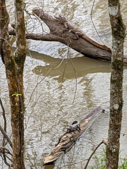
Mom, do you remember what this feels like? That tortoise probably does.

But lucky me: I can just ask. Thank you, powers that be, for my amazing parents.